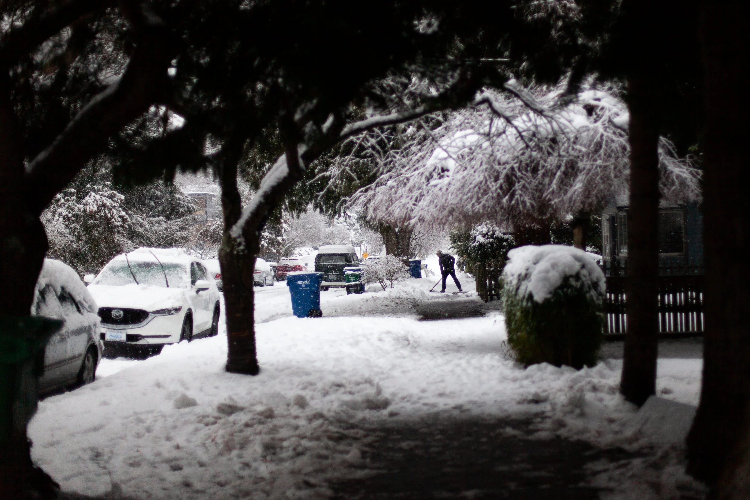
On February 3, 2019, the beginning of the “Snowmaggedon 2019” started in Seattle, Washington. If you don’t know, we don’t usually get much snow in Seattle, and when we do get a significant amount (or really even a small amount), it can affect the city and surrounding suburbs dramatically. We’re a city of hills next to each other, and we don’t have the infrastructure or resources to properly account for a lot of snow. Most people in Seattle also don’t know how to drive in the conditions, either.
In any case, when we get more than a couple of inches, the city essentially shuts down. “Snowpocalypse” is another phrase we use when a snowstorm really takes off in Seattle. In this case, we got 4 snowstorms in less than 10 days, and we broke a few serious records - this was the snowiest month in Seattle in over 50 years.
The first “small” round of snow begins to fall on 2/3/2019.
We didn’t get a ton of snow on the first round, but it was enough for school closures and a real Seattle snow-day. The kind of event we get every few years where we get a decent amount of sticking snow, and can have a little fun in it.
The first round of snow didn’t last too long, it began to fade away in typical fashion from Downton Seattle.
Come Tuesday, 2/5 things were disappearing, but word was getting around of the upcoming new snowstorm we would be receiving on Friday, 2/8. Everyone had the same idea - rush to the supermarkets on Thursday evening and stock up on supplies and food to survive the upcoming weekend and impending snow. Shelves on grocery stores all around the city were wiped clean, and so began Bananagate (bananas were one of the first things to completely disappear off of store shelves when people were stalking up).
Sure enough, the snow hit sharp on Friday afternoon, and myself and coworkers were flooding out of the office to avoid getting stuck downtown in the new snowfall, of which there was a lot!
Friday night - round 2 of 4 snowstorms.
One of my favorite things in my neighborhood - the light cube!!! I decided to go take photos of it for the first time in the snow.
Already getting a little stir crazy on Friday evening.
Having drinks at our favorite bar in the neighborhood - Joli, we were so happy they were open this weekend.
Finding bananas with one of my best friends.
Come Sunday night, 2/10, the 3rd snowstorm arrived and the city had received an incredible amount of snow by Monday 2/11. I believe my neighborhood had about 14”, but that’s after some melting and new snow had fallen. People in Seattle suburbs or the convergent zone were looking at much more snow, and talking about their amounts in feet. The Snoqualmie Pass also closed down as it received 53” inches of snow in 48 hours.
Despite there being a 4th snowstorm on the way on Tuesday, Monday felt like the biggest moment of snow amounts for the city, as there was some rain and melting expected between Monday and Tuesday. I decided to get out and get a few more neighborhood shots of the snow on Monday while I still could:
The 4th snowstorm came, but by Tuesday afternoon, the rain came down. Finally, the snow began to melt, and as I’m writing this, even most of the slush on my street has gone. There are still piles of snow and plenty of ice on the side streets, but it appears we are out of the 10-day storm at this point, at least in proper Seattle. The rest of the surrounding areas are still dealing with some pretty difficult conditions. The snow was pretty, and it was an awfully exciting change of pace, but I think I’m good on the snow for a few years again.


